


- Location
- TRURO CORNWALL
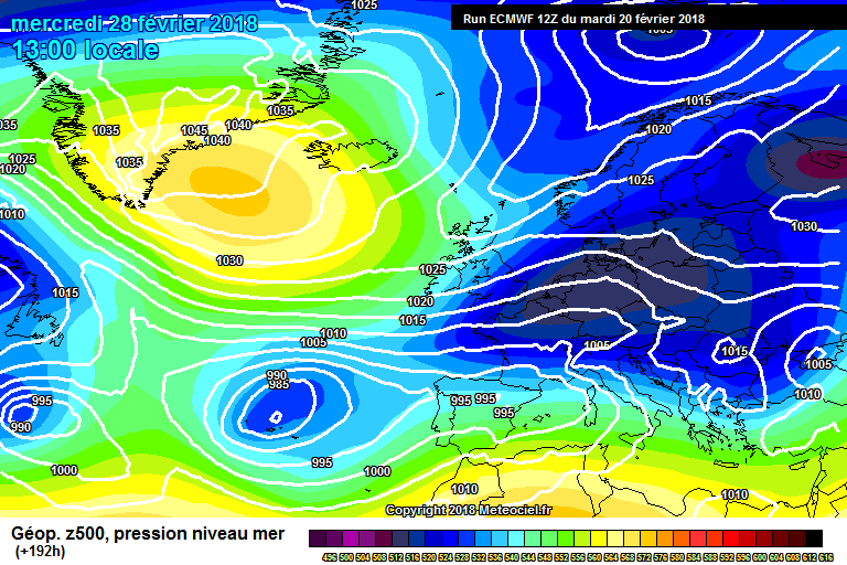
The Chart shows very cold air spreading from the east.
Wednesday21/2
Dry weather will dominate across much of the UK as high pressure settles, so bright or sunny spells and variable cloud. Feeling cooler, if not rather chilly, especially compared with earlier in the week with frost likely early and late in the day. Highs 4C to 7C. 39 / 45F
Wednesday Night
remaining dry for much of the for much of us clear skies turning cold with a frost, especially in the countryside. Just a small risk of the odd wintry flurries developing across SE England. Lows -1C to 3C.28/37F
Thursday22/2
A much colder day but with still a lot of dry weather. There may be a few showers in the south-east, perhaps wintry in the SE While patchy rain or drizzle likely in the north-west of Scotland. Otherwise dry, sunny and chilly with frosty conditions early and late in the day. Highs 2C to 6C. 36/43F
Frosts overnight
Friday23/2
Now we start to get the fed of the cold air from the continent as the easterly winds continue. It brings isolated light snow flurries into some south-eastern areas, while the north and west should be drier but still cold despite some sunny spells. Feeling very cold in the easterly Winds, which will be moderate or fresh in the south and east, Highs at 1C to 4C, 34/39F widespread frosts.
AS we go in to the weekend and next week I am expecting very cold air from Siberia to spread west in to southern England and Wales especially temperatures may not raise above freezing all day and there the treat of widespread heavy snow we wil firm up on this closer to the time updates at metjeffuk.com
But I can not stress enough how cold this winter blast from the east will be. Spring as been put on hold for at least 10 days.
Last edited:
